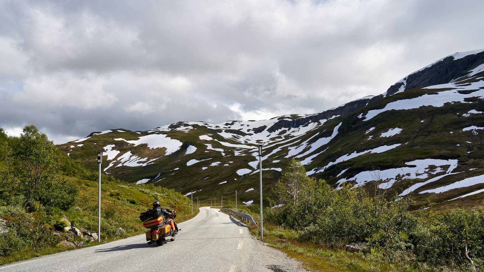
 Photo: Barnabas Davoti / Pexels / Pexels License
France — Ardèche
Ardèche Gorges by Motorcycle: The D290 Gorge Road, the Pont d’Arc and the Ardèche Hills
Key highlights
- The D290 gorge road: around 30km along the rim of the Ardèche gorges, with a string of belvederes
- The Pont d’Arc, a natural stone arch over the river
- The Serre de Tourre and Gournier viewpoints, high above the river bends
- The hill roads of the Ardèche: the Col de l’Escrinet, Antraigues and the Volane valley
- Best in spring and autumn, when the gorge road is quiet
The Gorges de l’Ardèche are the Grand Canyon of the south of France, or so the locals say: a deep limestone gorge, about 30 kilometres long, in which the Ardèche river loops between white cliffs on its way to the Rhône. Along the northern rim runs the D290, a tourist road built to show it off, with a string of belvederes (viewpoints) hanging over the drop. It is a short ride, but a stunning one, and it sits at the edge of a region of quiet, twisting roads, chestnut forests and stone villages that deserves a second day.
This guide covers the gorge road and a loop through the Ardèche hills, around 230 kilometres over two days.
Planning the trip
Vallon-Pont-d’Arc, at the western end of the gorges, is the natural base. Riders coming down the Rhône valley on the A7 can reach the eastern end at Saint-Martin-d’Ardèche or Pont-Saint-Esprit within minutes of the motorway. Ride the gorge road early in the morning or in the evening: in summer it fills with cars and campervans by mid-morning, and parking at the belvederes becomes a queue.
Day one: the gorge road (about 90km)
Vallon-Pont-d’Arc to the Pont d’Arc (about 5km). Leave Vallon on the D290. Within a few kilometres the road reaches the Pont d’Arc, a natural arch of stone over the river, more than 50 metres high, with canoes passing beneath. The arch is the symbol of the region. Nearby, a replica of the Chauvet cave, with its prehistoric paintings, is open to visitors; the real cave is closed to protect it.
The belvederes (about 25km). Beyond the Pont d’Arc the road climbs onto the plateau and runs along the rim of the gorge, with the belvederes signed one after another. The Serre de Tourre, early on, looks down on a great meander of the river around 200 metres below. The Gaud, Autridge and Gournier viewpoints follow, then the Balcons des Templiers, where the road makes a tight loop above a sheer bend in the gorge. The road between the belvederes is a joy: well surfaced and full of open bends through scrub oak and box, with the gorge appearing and disappearing to your right. The belvederes and the road are free.
The Aven de la Madeleine and Saint-Martin-d’Ardèche (about 10km). Toward the eastern end, a side road leads to the Aven de la Madeleine, a show cave, and the Belvédère de la Madeleine, with views back up the gorge. The road then drops in a series of bends to Saint-Martin-d’Ardèche, a small village on the river near the Rhône.
Back to Vallon via the plateau (about 50km). Instead of returning on the D290, ride back west on the D4 across the limestone plateau of the Gras through Saint-Remèze, or ride back along the D290 in the opposite direction, which shows the gorge from a different angle.
Day two: the Ardèche hills (about 140km)
Vallon to Aubenas (about 40km). Ride north from Vallon through Ruoms and the vineyards to Aubenas, the main town of the southern Ardèche, perched on a hill above the river.
Aubenas over the Col de l’Escrinet (about 25km). From Aubenas the road climbs north-east to the Col de l’Escrinet, a pass on the edge of the Ardèche plateau with a long view south over the valleys. The climb is a run of well-surfaced bends that is popular with local riders.
The Volane valley and Antraigues (about 40km). Ride back down toward Vals-les-Bains, a spa town in the Volane valley, and follow the valley north to Antraigues-sur-Volane, a village built on a rocky spur above the river. The roads here are narrow, steep and twisting, through chestnut forest and terraces. Beyond Antraigues you can climb toward the high plateau and the Mont Gerbier de Jonc, where the Loire rises; it is a long but beautiful detour.
Back to Vallon (about 35km). Return via Aubenas and the roads south through Lagorce, a quiet back road through the hills to Vallon.
Rules and practical points
There are no tolls on these roads. In summer the gorge road can be very slow, with stopped cars at every viewpoint and cyclists on the climbs. Speed limits are enforced, and some sections of the D290 have lower limits. French rules require gloves, a helmet with reflective stickers and a high-visibility vest carried on the bike. The south of France has a high risk of forest fires in summer; follow any restrictions and do not stop on dry grass with a hot exhaust.
When to go
April to June and September to October are best: warm, with quiet roads. July and August are very hot, often over 35°C, and the gorge road and the riverside villages are packed. Spring brings high water on the river and flowers on the plateau; autumn brings colour to the chestnut forests and the end of the canoe season.
The roads
The D290 is well surfaced, with a low wall or a barrier on the gorge side; take care pulling in and out of the belvedere car parks, where gravel collects. The hill roads are narrower, with patched surfaces and leaves and chestnut husks on the road in autumn. Fuel is available in Vallon, Saint-Martin, Ruoms and Aubenas, but scarce in the hills.
Getting there
From the north, leave the A7 at Montélimar and cross the Rhône to the Ardèche, or ride down the west bank of the Rhône on the quieter roads. From the south, Pont-Saint-Esprit and Bourg-Saint-Andéol put you at the eastern end of the gorges. French motorways charge tolls at the barrier or by card. Riders coming from the Massif Central can drop into the region over the high plateau, and that descent, through chestnut forests and gorges, is one of the best rides in this part of France.
Where to stay
Vallon-Pont-d’Arc is the most convenient base, with plenty of hotels and campsites; Ruoms and Aubenas are quieter. See our places to stay in France. The Ardèche links west into the Cévennes and the Gorges du Tarn, north-west to the Auvergne volcanoes, north-east to the Vercors, and south-east to Provence and the Gorges du Verdon.
Stays along this route
In riding order, with the distance from the nearest town or pass on the route. We may earn a commission.
8.1 km from Vallon-Pont-d'Arc
2.7 km from Aubenas