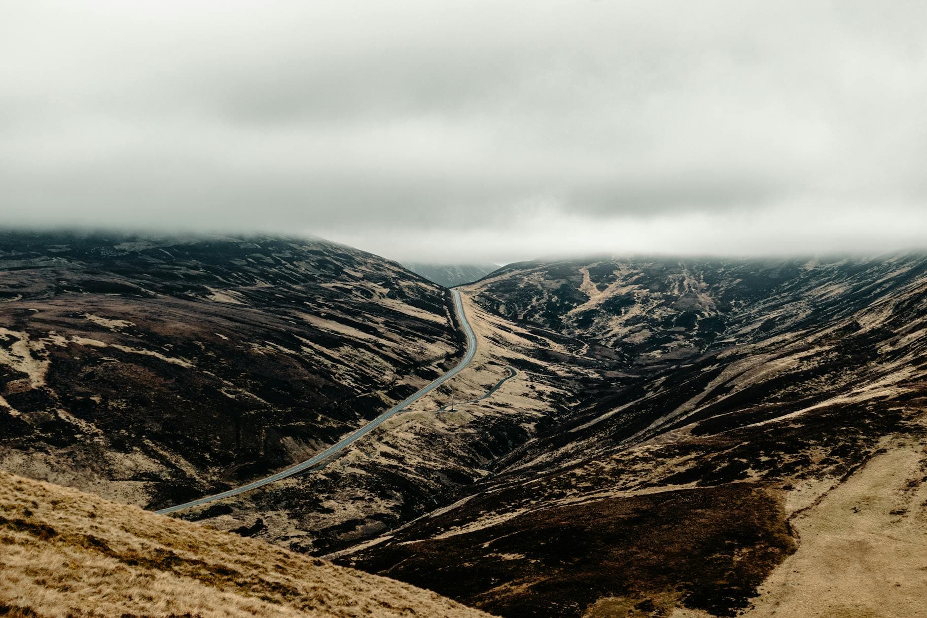
 Photo: ✰ Saul Bandera Brotheridge / Pexels / Pexels License
United Kingdom — Trossachs & Loch Lomond
Trossachs and Loch Lomond by Motorcycle: The Duke’s Pass, Loch Katrine and Glen Ogle
Key highlights
- The Duke’s Pass (A821): about 11km (7 mi) of tight bends from Aberfoyle over to Loch Achray
- Loch Lubnaig and the A84 through the Pass of Leny and Strathyre
- Glen Ogle on the A85: a big, open climb with a railway viaduct on the hillside
- Killin and the Falls of Dochart
- The quiet east shore of Loch Lomond to Balmaha, away from the A82
The Trossachs are the Highlands in miniature: wooded hills, lochs and glens packed into a small area an hour north of Glasgow, inside the Loch Lomond and the Trossachs National Park. The riding is tight and varied rather than grand, and the star is the Duke’s Pass, a short road over the hills from Aberfoyle that is among the best few miles of bends in Scotland. Combined with the bigger roads further north, through Glen Ogle and down Loch Lomond, it makes a loop of around 200 kilometres (125 miles) that is easy to fit into a day from Glasgow or Stirling.
Planning the loop
Aberfoyle, Callander and Killin are the best bases, and Stirling and Glasgow are close enough for a day ride. The loop below runs clockwise from Aberfoyle: the Duke’s Pass first, north to Killin, back down Loch Lomond, and the east shore last. Our Glencoe and A82 guide covers the western shore of Loch Lomond and the road north to Fort William in detail.
The route, section by section
Aberfoyle over the Duke’s Pass to Loch Achray (about 11km / 7 mi). The A821 leaves Aberfoyle north and climbs straight into the Queen Elizabeth Forest Park. The Duke’s Pass is not high, topping out at about 240 metres (790 feet), but it packs in bend after bend through forest and over open hillside, no two alike, with views over the forest to Loch Venachar. Then it drops in a final string of bends to Loch Achray at the foot of Ben Venue. The road is narrow in places, with walkers and cyclists, and the forest visitor centre near the top is a good stop. A short dead-end road leads to the pier at Loch Katrine, where a historic steamship takes visitors up the loch.
Loch Achray to Callander (about 15km / 9 mi). Ride east along the A821 past Brig o’ Turk and the shore of Loch Venachar to Callander, a busy town at the gateway to the Highlands. It is the natural place for fuel and coffee.
Callander to Lochearnhead (about 22km / 14 mi). Take the A84 north through the Pass of Leny, where the river races beside the road, then along Loch Lubnaig and through Strathyre to Balquhidder and Lochearnhead. This is a fast main road with long, open bends, the loch on your left and big hills on both sides. Speed limits and enforcement are tighter than they used to be, so watch for cameras.
Glen Ogle to Killin (about 13km / 8 mi). From Lochearnhead the A85 climbs north through Glen Ogle, a wide, open glen with the old railway viaduct on the hillside above. It is a fast, flowing climb with big views. At the top, turn right for Killin, where the Falls of Dochart tumble over the rocks under the bridge in the village. Killin sits at the western end of Loch Tay, and the narrow road along the loch’s south shore makes a quiet detour if you have time.
Killin to Crianlarich and Loch Lomond (about 70km / 43 mi). Return to the A85 and ride west through Glen Dochart to Crianlarich, then south on the A82 along Loch Lomond. The road along the northern end of the loch, between Ardlui and Tarbet, is narrow and twisting, with the water close on your left. South of Tarbet it becomes faster and wider, to Balloch at the southern end of the loch.
Balloch to Balmaha and back to Aberfoyle (about 50km / 31 mi). From Balloch ride east to Drymen and take the B837 along the east shore of Loch Lomond to Balmaha, a small village with a boatyard and an inn. The road continues as a narrow, single-track lane to Rowardennan, where it ends, so ride it out and back. From Drymen, ride north-east across the moors back to Aberfoyle.
Rules and practical points
All the roads on the loop are free. Speed limits on the A84, A85 and A82 are enforced with fixed and mobile cameras. Much of the area is a national park with byelaws on camping and fires; if you plan to camp, check the national park authority’s rules first. On single-track roads, pull into passing places to let oncoming traffic through, and to let faster vehicles overtake.
When to go
May to September. May and June have long days and, often, the best weather; September has autumn colour and fewer visitors. July and August are busy around Loch Lomond, and the midges come out on still, damp evenings. Scottish weather changes fast: pack waterproofs and expect rain at any time of year.
The roads
The Duke’s Pass and the east shore road are narrow, with blind bends, gravel and the odd fallen branch. Watch for deer at dawn and dusk, sheep on the open hills, and coaches and caravans on the A82. Fuel is available in Aberfoyle, Callander, Killin, Crianlarich, Balloch and Drymen.
Getting there
From Glasgow, the A81 runs north to Aberfoyle in under an hour; from Edinburgh, the M9 to Stirling and the A84 bring you to Callander in about an hour and a half. Riders coming up from England can reach the Trossachs in a long day via the M74 and Glasgow, or more slowly via the A7 and the Borders. The loop also works as a first day on a longer Highland trip: ride it on the way north and stay in Killin or Crianlarich, ready for Glencoe the next morning.
Where to stay
Aberfoyle and Callander are the classic bases for the Trossachs; Killin suits riders heading further north. See our Scottish Highlands biker hotels. From Crianlarich the A82 continues north over Rannoch Moor to Glencoe in our Glencoe guide, and from Killin the A827 runs east along Loch Tay toward the Cairngorms and the Snow Roads. Heading south, Galloway is about two hours away.
Stays along this route
In riding order, with the distance from the nearest town or pass on the route. We may earn a commission.
7.1 km (4 mi) from Lochearnhead