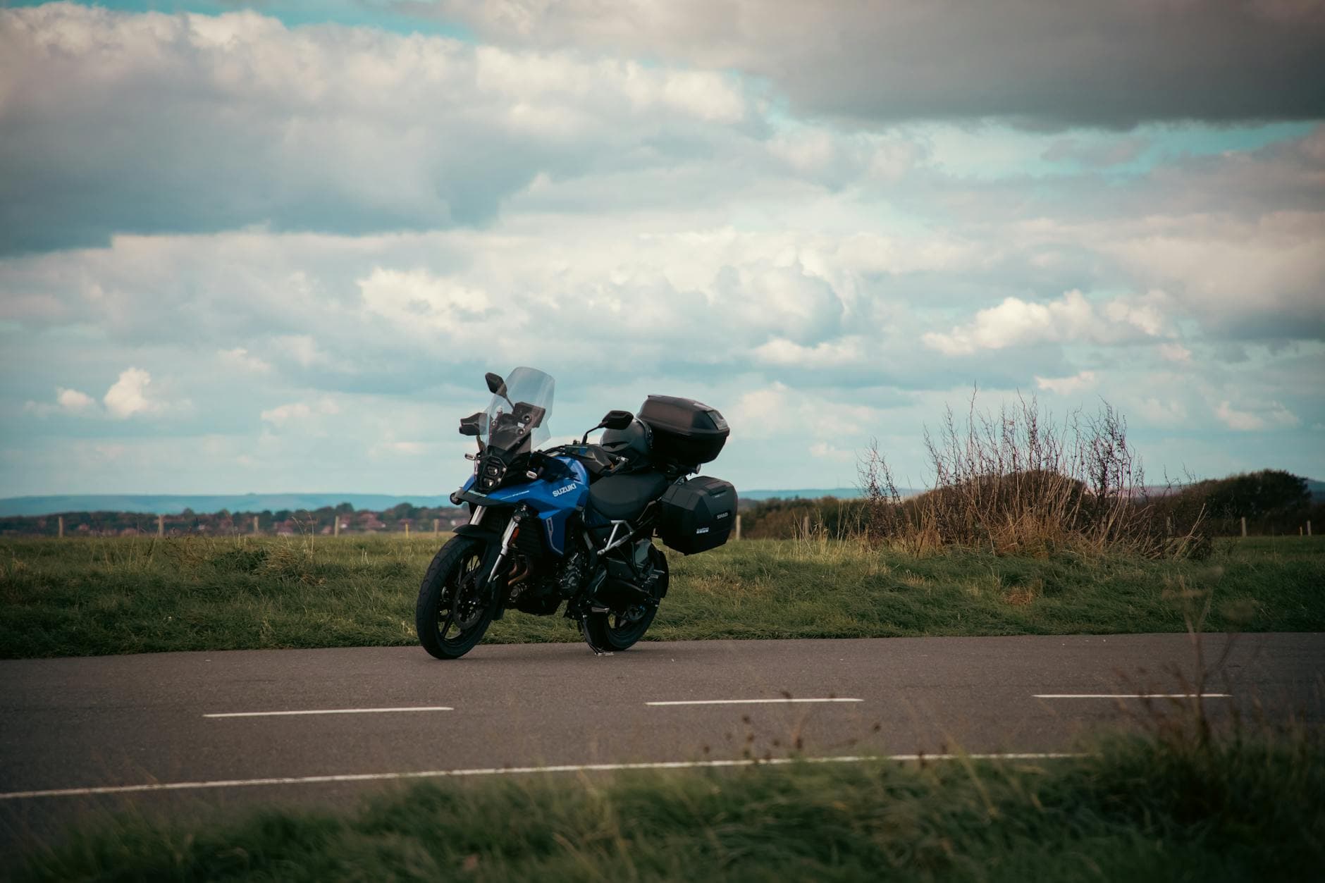
 Photo: Tony Zohari / Pexels / Pexels License
United Kingdom — Northumberland & North Pennines
Military Road and North Pennines by Motorcycle: Hadrian's Wall, Hartside and Killhope
Key highlights
- The B6318 Military Road beside Hadrian's Wall: crests, dips and big views
- Hartside Pass (A686): long bends to about 580m (1,900ft), with the Lake District fells on the horizon
- Alston, a high market town with cobbled streets
- Killhope Cross (A689): over 600m (2,000ft) between Alston and Weardale
- Extensions: the A68 to Carter Bar and the Scottish Borders
The far north of England has some of the emptiest, highest and most underrated riding in the country. This loop of about 160km (99 mi) from Hexham combines two very different roads. The Military Road runs beside Hadrian's Wall in a dead-straight line that rises and falls over every ridge. The North Pennine roads over Hartside and Killhope are among the highest main roads in England, with long, flowing bends across open moor. Together they make one of the best days out in the north.
The route
Hexham to Chollerford (about 7km / 4 mi). Cross the Tyne and head north to Chollerford, where the B6318 Military Road meets the North Tyne.
The Military Road: Chollerford to Greenhead (about 30km / 19 mi). The B6318 was built in the 18th century to move troops across the country after the Jacobite rising of 1745, and much of it was laid on top of, or right beside, Hadrian's Wall. It follows the line of the Wall west over the high ground, past the forts at Chesters and Housesteads and the Sycamore Gap, where the famous tree stood until it was felled in 2023. The road is mostly straight, but it is a rollercoaster of blind crests and dips, some deep enough to hide an oncoming car completely. Overtaking on it needs real care: the road looks open, but a car can be hidden in any dip. The views north over the Northumberland moors and south over the Tyne valley are huge.
Greenhead to Alston (about 30km / 19 mi). Drop down to the A69 at Greenhead, ride east to Haltwhistle and turn south on the A689 up the South Tyne valley to Alston. Alston is one of the highest market towns in England, with steep cobbled streets: take the main street slowly in the wet.
Hartside, out and back (about 20km / 12 mi). From Alston, the A686 climbs west across the moor to the top of Hartside at about 580m (1,900ft), then plunges down the Pennine escarpment towards Melmerby in long, sweeping bends. The view from the top over the Eden valley to the Lake District fells is one of the best in the north of England. Ride down to Melmerby and back up, so you get the bends in both directions, or carry on to Penrith if you are heading for the Lakes.
Alston to Stanhope over Killhope Cross (about 35km / 22 mi). Back in Alston, take the A689 east. It climbs past Nenthead to Killhope Cross, over 600m (2,000ft) and one of the highest main roads in England, then runs down the length of Weardale past the old lead-mining villages of Cowshill, St John's Chapel and Stanhope. The descent is a long, open run with a good surface for most of its length.
Stanhope back to Hexham (about 35km / 22 mi). From Stanhope, the B6278 climbs north over the moors, with a steep, signed hill out of the town, to Edmundbyers. From there, roads through Blanchland and the Derwent valley lead back to Hexham.
What to expect
The Military Road has a poor accident record, mostly from overtaking into dips and from riders and drivers misjudging the crests. Ride it as a scenic road, not as a fast one. The North Pennine roads are high and exposed: the weather at Killhope or Hartside can be very different from Hexham, with strong winds, low cloud and snow late into spring. The moors are open grazing, so sheep wander the road, and there are cattle grids on the fell edges. Fuel is sparse in the high country: fill up in Hexham, Haltwhistle or Alston.
Extensions
- The A68 to Carter Bar. North from Corbridge, the A68 runs through Northumberland to the Scottish border at Carter Bar, with a long series of blind summits (the same rollercoaster as the Military Road, but longer), and on to Jedburgh in the Borders.
- The B6277 over Yad Moss. From Alston, the B6277 crosses the moor south-east to Middleton-in-Teesdale, past High Force waterfall. High, remote and quiet.
- Penrith and the Lakes. From the bottom of Hartside it is a short run to Penrith, Ullswater and the start of the Lake District passes.
A suggested day
Ride the Military Road first, early in the morning, when the light runs low along the Wall and the car parks at Housesteads and Steel Rigg are still empty. Stop at one of the forts if you have time: Housesteads is a steep walk up from the road, Chesters is right by the river at Chollerford. Take an early lunch in Haltwhistle or Alston. Ride Hartside in the early afternoon, down to Melmerby and back up, then cross Killhope and ride the whole length of Weardale with the afternoon sun behind you. The loop takes five to six hours with stops. If you are staying in Penrith, ride Hartside last and drop straight down the hill to your bed.
Bikes and kit
This is a loop for any bike. The roads are wide enough for big tourers and the surfaces are mostly good, though the A686 and A689 carry patches and gravel in the bends after winter. The high roads are very exposed to wind, so a heavy bike is easier to ride than a light one on a gusty day. Pack warm, waterproof layers: the temperature can drop sharply on the tops.
When to go
May to September. The high roads over Hartside and Killhope can be closed by snow well into spring and again from late autumn; check before you go. Summer brings walkers' traffic to the Wall, particularly around Housesteads and Steel Rigg. Early mornings on the Military Road are quiet and the light along the Wall is at its best.
Where to stay
Hexham and Corbridge are the best bases for the Wall, with Haltwhistle and Alston closer to the high roads. If you are riding on to the Lakes, Penrith is just down the hill from Hartside. See all Northumberland and North Pennines biker-friendly stays. Further north, the Galloway Forest roads are about two hours west across the border, and heading south, the North York Moors are about two hours away.