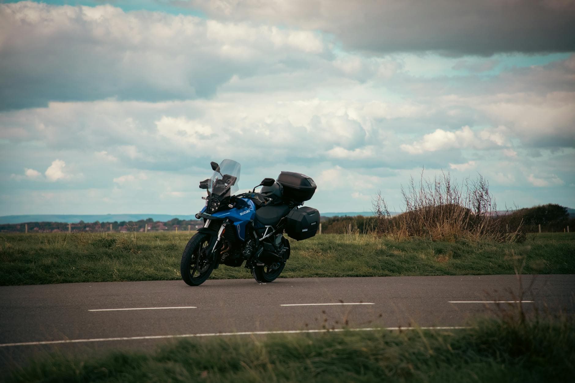
 Photo: Tony Zohari / Pexels / Pexels License
United Kingdom — Northumberland
Northumberland Coast by Motorcycle: Bamburgh, Holy Island and the Cheviot Hills
Key highlights
- The coast road past Warkworth, Alnmouth, Craster and Seahouses
- Bamburgh castle on its rock above the beach, one of the great views of the English coast
- The tidal causeway to Holy Island (Lindisfarne): check the crossing times before you go
- Berwick-upon-Tweed’s walls and bridges, then the quiet roads of the Till valley
- The B6341 from Rothbury to Alnwick through the Cheviot foothills
The Northumberland coast is one of the least crowded stretches of coastline in England: long, empty beaches, dunes, fishing villages and a string of castles on rocky headlands, with the Cheviot Hills rising inland. The riding is not extreme, but it is relaxing and beautiful, with quiet roads, big skies and some of the best views in the north. This loop of around 190 kilometres (118 miles) from Alnwick follows the coast north to Berwick-upon-Tweed and comes back through the foothills of the Cheviots.
It pairs naturally with the Military Road along Hadrian’s Wall and the high roads of the North Pennines, covered in our Military Road and North Pennines guide.
Planning the loop
Alnwick is the best base: a market town with a big castle, plenty of places to stay and the A1 close by. Riders coming from the south reach it on the A1 from Newcastle in under an hour; from Scotland, the A1 or the A68 over Carter Bar. Before you set off, check the Holy Island causeway crossing times for the day (see below), and plan the loop around them.
The route, section by section
Alnwick to Warkworth and Alnmouth (about 20km / 12 mi). Leave Alnwick south-east to Warkworth, a village in a loop of the river Coquet with a ruined castle at the top of the main street. Then ride north along the coast to Alnmouth, a pretty village on the estuary of the Aln with colourful houses facing the water.
Alnmouth to Craster and Seahouses (about 25km / 16 mi). Take the minor roads north along the coast through Longhoughton and Howick to Craster, a small fishing village known for its kippers. From Craster, a walk along the shore leads to the ruins of Dunstanburgh castle on its headland, one of the most dramatic ruins in England. Then follow the B1340 north through Embleton and Beadnell to Seahouses, the harbour for boat trips to the Farne Islands and their seabirds and seals.
Seahouses to Bamburgh (about 5km / 3 mi). The coast road from Seahouses to Bamburgh runs along the dunes with the sea on your right, and then Bamburgh castle appears: a huge fortress on a basalt crag above a wide beach. It is one of the great views of the English coast. The village below has cafés and a museum to Grace Darling, the lighthouse keeper’s daughter who rowed out to rescue shipwrecked sailors.
Bamburgh to Holy Island (about 25km / 16 mi). From Bamburgh, ride north on the minor roads through Belford toward the coast at Beal, where the causeway leads across the sands to Holy Island (Lindisfarne). The causeway is tidal: twice a day the sea covers it, and every year drivers who ignore the crossing times are stranded or have to be rescued. Cross only within the safe times. On the island you will find the priory ruins, a small village and Lindisfarne Castle on its rock. Sand and salt water collect on the causeway, so take it slowly and wash the bike afterwards.
Holy Island to Berwick-upon-Tweed (about 20km / 12 mi). Return across the causeway and ride north to Berwick-upon-Tweed, England’s northernmost town, with its complete ring of Elizabethan walls and three bridges across the Tweed. Walk a section of the walls for the view across the river mouth.
Berwick to Wooler through the Till valley (about 50km / 31 mi). From Berwick head south-west along the minor roads through Norham, with its castle above the Tweed, and Etal and Ford, two estate villages in the Till valley. The Flodden battlefield, site of a great defeat of the Scots, is close by. These are quiet, rolling roads through farmland, with the Cheviots growing ahead. Wooler, at the foot of the hills, is the gateway to the Cheviots and a good place for fuel and coffee.
Wooler to Rothbury and back to Alnwick (about 45km / 28 mi). Ride south on the A697 to Powburn and on toward Rothbury, a stone town in the Coquet valley. From Rothbury, take the B6341 back to Alnwick: a fine road over open moorland with long views, flowing bends and a few tighter sections. If you have time, the B6341 also runs west from Rothbury to Elsdon and the A68, a moorland road that leads toward Carter Bar and the Scottish border.
The Holy Island causeway
Northumberland County Council publishes safe crossing times for the causeway for each day. Check them on the council’s website, or at the signs on the approach, before you set off, and allow extra time, as the council advises, because wind and weather can change how quickly the tide covers the road. Never try to cross when water is on the road. The walking route across the sands is separate and has different, unpublished safe times.
Rules and practical points
All the roads on this loop are free. Speed limits on the A1 and the main roads are enforced with cameras. Many of the coastal roads are narrow, with tractors, caravans and cyclists. Parking can be tight in Bamburgh and Seahouses in summer, and the Holy Island car park charges a fee.
When to go
April to September. May and June bring long days and the seabird season on the Farne Islands; September is quieter and still mild. The coast is often cooler and windier than inland, and sea fog can roll in on summer mornings. Pack a warm layer and waterproofs.
The roads
The coastal roads are generally well surfaced but narrow, with sand blown onto the road near the dunes and mud from farm traffic inland. The B6341 crosses open moorland with sheep on the road. Fuel is available in Alnwick, Seahouses, Belford, Berwick, Wooler and Rothbury.
Into the Cheviots
With more time, the valleys running into the Cheviots from the east are worth exploring. The College Valley and the Breamish valley are reached by narrow lanes from Wooler and Powburn, and the upper Coquet valley road runs from Alwinton deep into the hills along the river. Parts of the upper Coquet are used by the army as a training area, and the roads there can close at times; follow the signs and any red flags. These are small, slow roads with sheep, gates and gravel, best ridden at a gentle pace.
Where to stay
Alnwick, Bamburgh, Seahouses, Wooler and Rothbury all suit the loop. See our Northumberland biker hotels. From Northumberland, the North York Moors are about two hours south, and the Scottish Borders and Galloway are to the north-west.